Geography of Mallorca
The island of Mallorca is found in the middle of the Mediterranean Sea, specifically 180 kilometres (111 miles) off the eastern coast of the Iberian Peninsula. It's part of the Balearic Islands archipelago, which also contains Menorca, Ibiza, Formentera and Cabrera.
The biggest city on the island is Palma de Mallorca, with over 400,000 inhabitants, and is the capital of the Autonomous Community of the Balearic Islands. The other 2 largest cities are Inca and Manacor.
Mallorca has a total of 3,640.11 kilometres squared (1,405 miles squared) of land, making it the largest island in Spain, just in front of Tenerife and Fuerteventura. In addition, thanks to its population of over 800,000 inhabitants, it's the 4th most populated island in the Mediterranean.
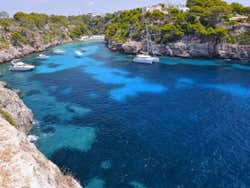
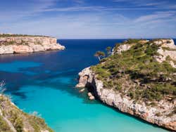
With more than 550 kilometres (341 miles) of coastline, Mallorca is one of the most visited tourist destinations in all of Spain. Mallorca's 300-plus beaches range from small coves to long sandy beaches, transforming the landscapes into dream-like areas.
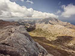
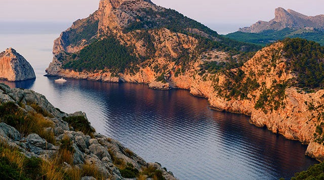
Tramontana Mountain Range
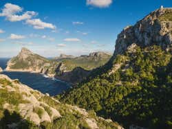
The Tramontana mountain range is one of the main geographical attractions in Mallorca, with unique cliffs and rocky landscapes that meet the beach and sea. The mountain range has lots of caves, such as the Drach Caves.
Puig Mayor, at 1,436 metres (4,711 feet), is the tallest mountain in Mallorca, and the highest peak in the Balearic Islands. It's closely follower by Puig de Masanella, at 1,365 metres (4,478 feet), and some rocky areas that hide caves and chasms.